Explanation
Simulation
conditions
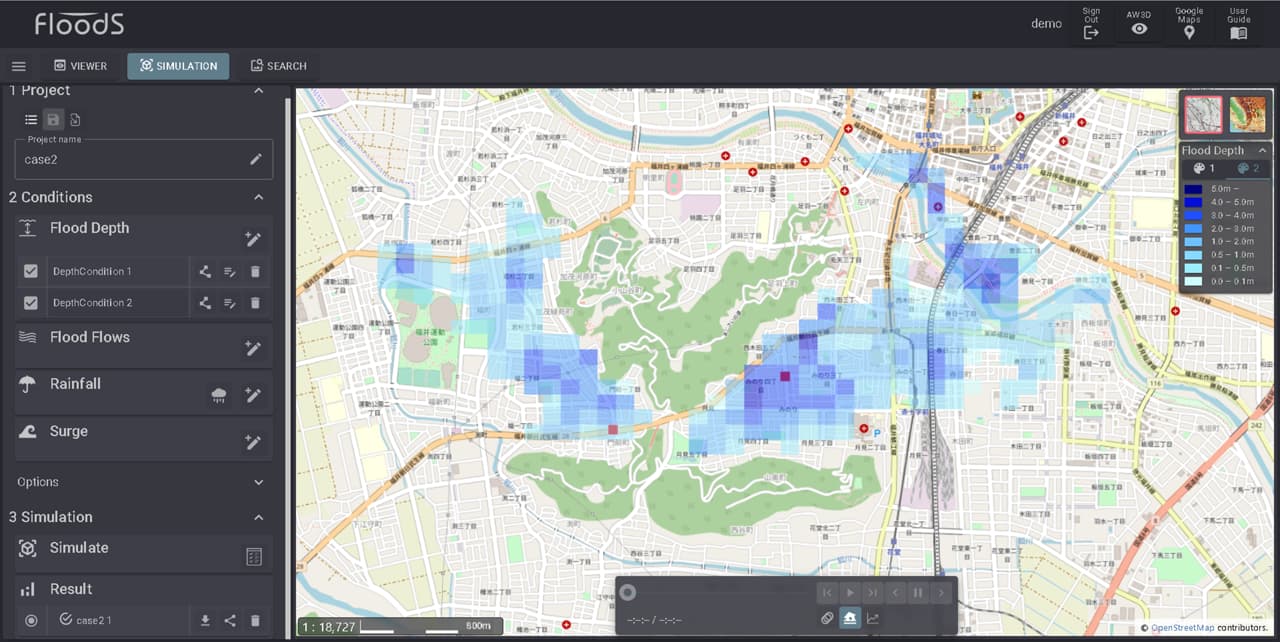
Flood Depth
‘Flood Depth’ condition sets information about the flood depth at a specific point. Surrounding flooding conditions can be simulated based on flooding depth information.
The information to be set includes the depth of flooding and duration of flooding.
Various flooding phenomena can be simulated depending on the location.
<Example>
- ・River flooding simulation if set near a river.
- ・Drainage shortage simulation if set in an urban area, .
- ・Storm surge simulation if set on the coast.
- ・Dam breach simulation if set to dam.
- ・Drainage simulation if set to drainage facility.
The figure below shows an example of calculations with two-point inundation depth conditions set within the inundated area due to the levee failure of the Asuwa River in Fukui Prefecture,Japan in 2004.
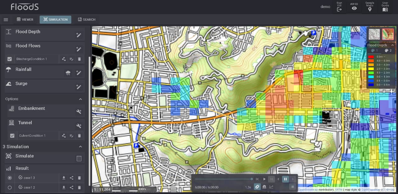
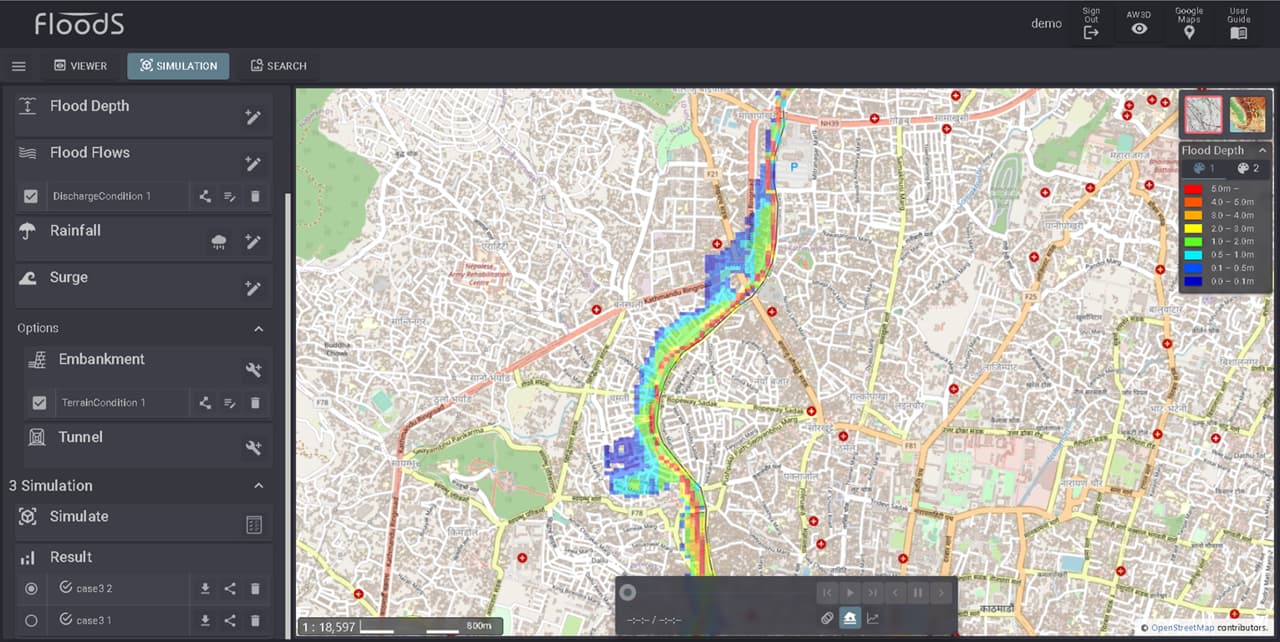
Flood Flows
’Flood Flows’ condition sets information about the amount of water flowing from a specific point. You can simulate the surrounding flooding situation from that water.
Information to be set includes flow rate and duration.
Various flooding phenomena can be simulated depending on the location.
<Example>
- ・River simulation when set to river.
- ・River overflow simulation when set at the overflow point from the river.
- ・River breach simulation if set at the point where an embankment breaks from a river.
- ・Dam breach simulation if set to dam.
The figure below is an example of calculations with a river flow rate of 500m3/s.
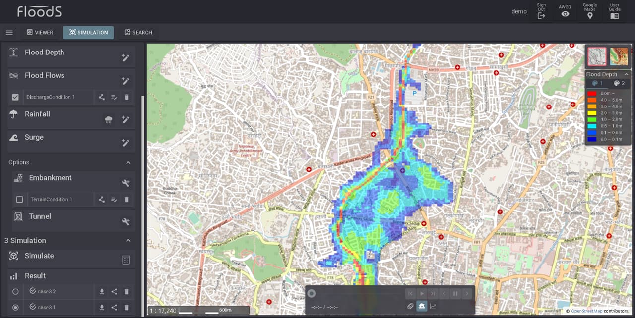
Rainfall
‘Rainfall’ condition sets conditions for the same amount of rainfall in the specified range. It is possible to simulate the type of flooding that occurs when rainfall falls within the specified area and water accumulates in lowlying areas and cannot be drained.
The information to be set is rainfall amount and duration.
You can simulate flooding caused by short-term heavy rains that occur in cities on the plains.
The figure below is an example of calculation based on short-term heavy rain of approximately 120 mm/h in an urban area.
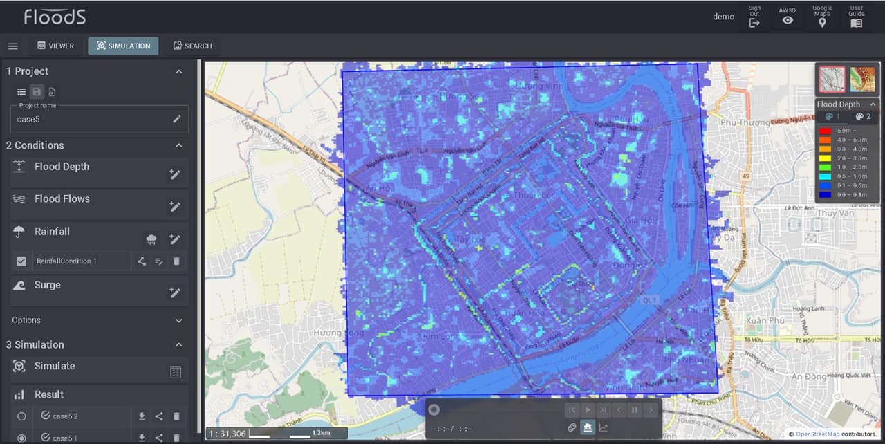
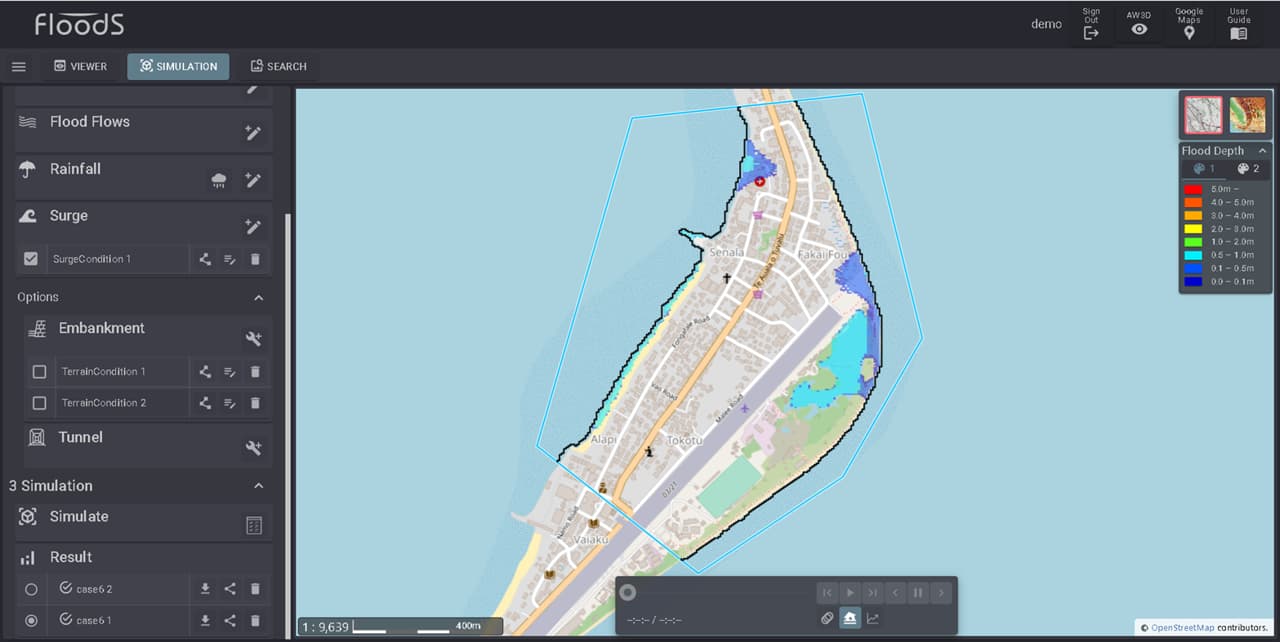
Surge
‘Surge’ condition automatically or manually creates a shoreline and sets the water level condition on that shoreline. By setting the wave height, it is possible to simulate flooding in low-lying areas on the land side.
The information to be set is tide level and time.
Automatic shoreline extraction uses topographic data to extract the boundary line between sea and land.
When creating a shoreline manually, you can check the map and set the location.
The figure below is an example calculation assuming that the tide level rises by 1m in an island country.
Countermeasures conditions
Embankment
‘Embankment’ condition can be set as a condition that complements the terrain.
The information to be set is the height condition for the specified section.
The simulation results will change depending on the meaning of the specified height.
- ・Correcting to the current height will improve the accuracy of the flooding simulation.
- ・By correcting to the future height, it becomes the simulation result of the countermeasure.
Tunnel
‘Tunnel’ condition can be set as a condition that complements the terrain.
The information to be set is the width and height conditions of the specified section.
The simulation results will change depending on the meaning of the specified information.
- ・Correcting to the current information will improve the accuracy of the flooding simulation.
- ・By correcting to the future information, it becomes the simulation result of the countermeasure.
The figure below is an example of calculations where a tunnel is set up in a culvert that is not represented in the current topography.